Introduction:
Soil erosion is the loss of topsoil due to various factors but mostly due to deforestation, lack of soil cover that results in siltation further downstream. around 75 hectares of forest area have already been deforested and as a result over one billion of soil has been lost to soil erosion.
Check out: Soil Erosion and Degradation – Causes, Effects, and Solutions
Almost always soil erosion is considered to be something that is talked about with a negative connotation. However, this is not exactly the case in reality because soil erosion is a natural process and is extremely important to occur because otherwise the soils would keep getting thicker and thicker making it lower quality. What we do have to talk about most importantly and with concern is accelerated erosion that is caused by human activities that speed up the natural process of erosion.
Techniques to measure Soil Erosion:
There are Direct and Passive ways are often very accurate ways to measure the extent of soil erosion but they are also very time consuming and require intense labor. Manual collection and analyzing soil samples or even on-site analysis by measuring the height, width and depth of the gullies or soil layers /horizons and then calculating the volume lost to determine the volume of soil lost.
However, aside from that, some other examples of direct or passive methods to measure soil erosion are mentioned below:
- A-Horizon Reconstruction: In this the topmost layer of soil, called A horizon is often eroded on soils suspected of soil erosion. Therefore, soil erosion can be measured in this way by measuring the thickness of the top layer of soil and then comparing it with the soils of nearby areas and lastly with soil that is known to be healthy and intact devoid of having experienced any erosion at all.
- Comparison with Natural Benchmarks: Such natural benchmarks may include the soil markings on nearby rocks, boulders, buildings or monuments and even trees, and calculating or estimating how much soil is lost by quantitative and volumetric analysis. These work in a very similar manner such as that of water markings on high rise buildings.
For related information, read: Soil and Water Sampling Techniques
Some Indirect or Active methods to measure soil erosion likewise, revolve around preselected points in the soil and measure it over a long period of time. Some are mentioned below:
3. Using Erosion Pins: These are metal rods that are embedded into the soil with the surface or head of the metal rod/pins sticking up outside the soil at a pre-determined and pre-recorded distance. Overtime, the distance between the head of the pin and the surface of the soil is recorded and collected at regular intervals over a long duration of time. It is then later analyzed to see how much soil is eroded from the surface based on how much the distance has increased.
4. Run-off Plot Method: this takes into account the run off water and the quantity of soil present in a fixed plot of soil and it is then carried off to a tank or hole where the soil quantity can be measured. It is often used to check the extent of soil erosion and how loose the soil is and this makes it not as accurate to measure soil erosion in undisturbed regions as this method requires artificial borders that do not exist in undisturbed soils. Along with that, a lot of sampling devices and equipment are also needed.
5. Mesh Bag Method: This is a sensitive and a pretty accurate method of measuring the rate of soil erosion. It involves quantification of the amount of soil that is redistributed in a field. The mesh bags that would be placed in a field would allow water and a negligible amount of soil particles to infiltrate the bottom mesh because they are closely in contact with the bare soil surface. This method works great in conjunction with the above mentioned Run-off plot method.
Related: Types Of Soils In Pakistan And Their Location And Properties
Condition and Effects of Soil Health in Pakistan
Conclusion:
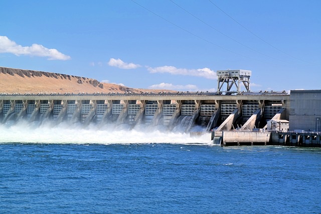
Soil erosion is one of the most important watershed processes in nature, yet quantifying it under field conditions remains a challenge. The lack of soil erosion field data is a major factor hindering our ability to predict soil erosion in a watershed and the resultant issues such as siltation of the various lakes, streams and rivers in the watershed region that will ultimately accumulate in the larger drainage basin.
Also check out: Land/Soil pollution – Causes, Effects, and Control
I hope you all liked this post! Please comment below if you have any suggestions, comments, or feedback! We at #envpk love hearing from our readers! Thanks!